3.74
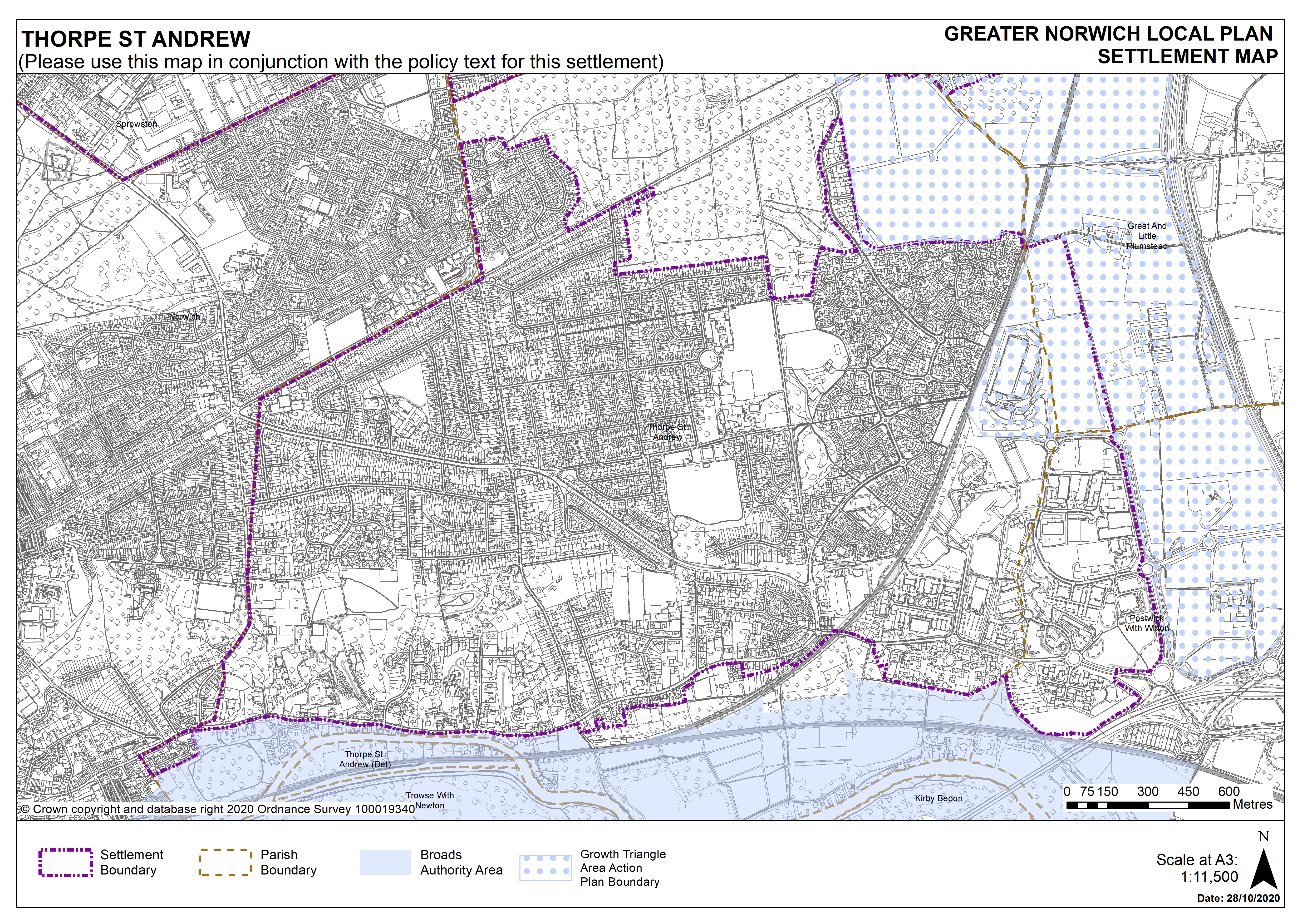
Thorpe St Andrew is an urban fringe parish under policy 7.1 and is within an area identified for significant development as part of the (ORST) Old Catton, Racktheath, Sprowston, Thorpe St Andrew Growth Triangle Area Action Plan which will not be superseded by this plan. The suburban character of Thorpe St Andrew comprises mainly 20th Century semi-detached and detached properties often set in large plots with mature planting. The Thorpe St Andrew Conservation Area extends northwards from the River Yare up the valley side to the top of Thorpe Ridge.
3.75
Thorpe St Andrew also benefits from a good range of services and facilities, principally based around the district centre at Pound Lane that is anchored by a Sainsbury supermarket. There is primary school provision within the town council area and Thorpe St Andrew High School has approximately 1,700 students, including a sixth form. Historically, Thorpe St Andrew developed along the Yarmouth Road parallel to the north bank of the River Yare. Historic listed buildings line the Yarmouth Road, including the Grade II* Thorpe Hall and the ruins to the Church of St Andrew.
3.76
Thorpe St Andrews has Draft Neighbourhood Plan in progress at the time of writing but this has not been made.
3.77
There are no site allocations identified in Thorpe St Andrew. There are no carried forward allocations but a total of 386 additional dwellings with planning permission. This gives a total deliverable housing commitment for Thorpe St Andrew of 386 homes between 2018 – 2038 in the GNLP.
Settlement Map