5.15
Brundall is identified as a Key Service Centre under policy 7.3. Services include a primary school, library, doctors surgery, a food store, and public transport.
5.16
The Brundall Neighbourhood Plan was ‘made’ in May 2016 and covers the period to 2026. The vision for the Brundall Neighbourhood Plan is for Brundall to remain a high-quality rural village surrounded by tranquil open countryside and the Broads landscape where people want to live, visit, work and engage with a vibrant and thriving community.
5.17
Postwick with Witton is a small village with a rural character lying predominantly to the south of the Norwich to Brundall railway line and some way to the north of the marshes adjoining the River Yare. The village has few facilities in its own right and the southern part of the parish lies within the Broads Authority Executive Area. The southern quarter of the Broadland Business Park and the Park & Ride are within Postwick Parish, but both are relatively inaccessible due to the ‘barrier’ created by the A47/Postwick Hub Interchange.
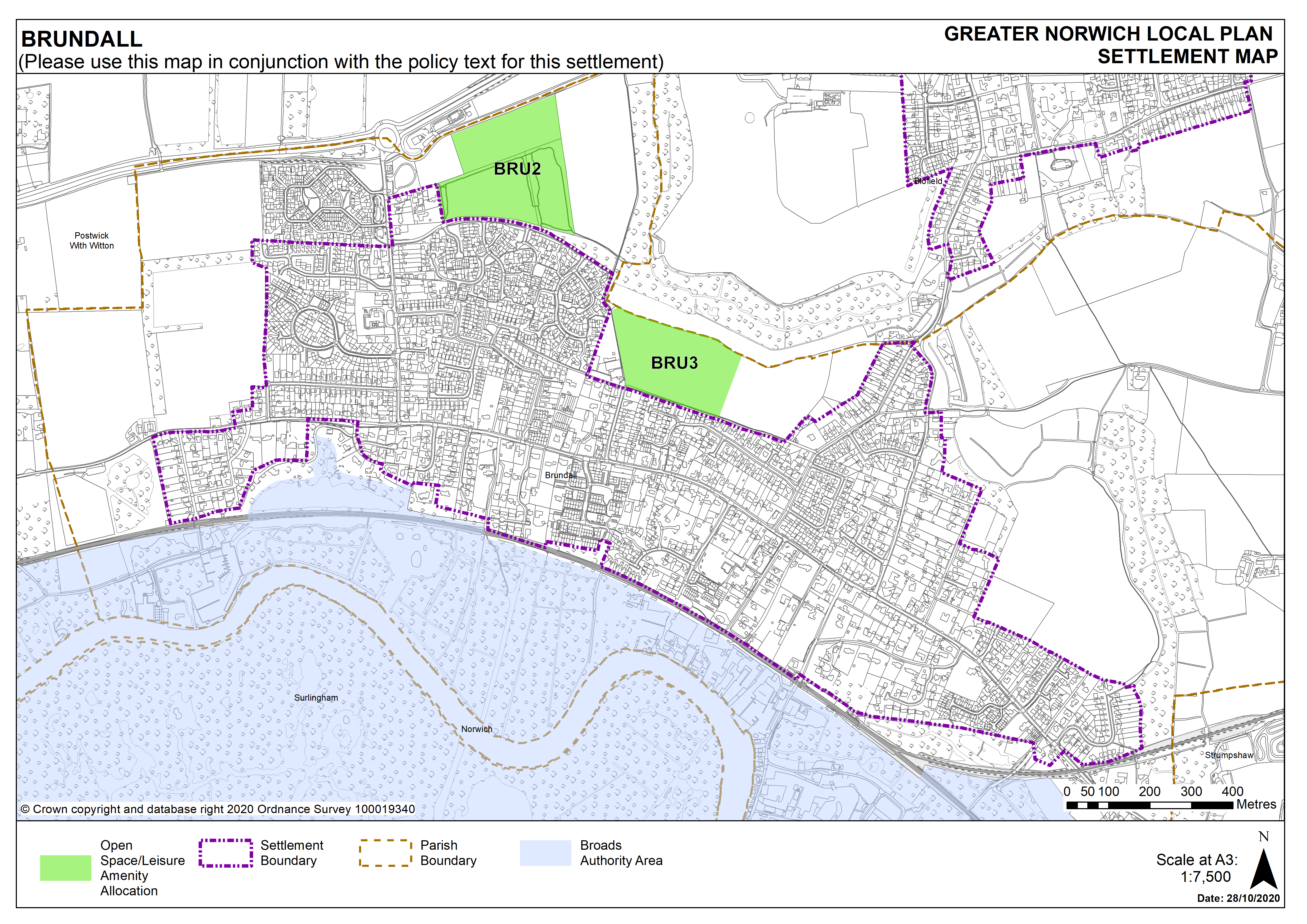
5.18
There are currently no new or carried forward housing allocations proposed in Brundall but there are 175 dwellings with planning permission (at March 2020). This gives a total deliverable housing commitment for Brundall of 175 homes between 2018 – 2038. There are carried forward open space allocations.
5.19
There are no sites identified as preferred options in Postwick with Witton, no carried forward residential allocations and 16 dwellings with planning permission on smaller sites.
5.20
All new and carried forward allocations are expected to address standard requirements associated with development. These vary from place to place but are likely to include mitigations for flood risk (as well as SUDs), highways improvements, safeguarding of minerals resources, land remediation, measures to protect the environment, biodiversity, and landscape intrusion.
5.21
Brundall has a high amount of existing development commitment and infrastructure constraints, including access to the A47 at Cucumber Lane, that limits the potential for additional housing.
Settlement Map